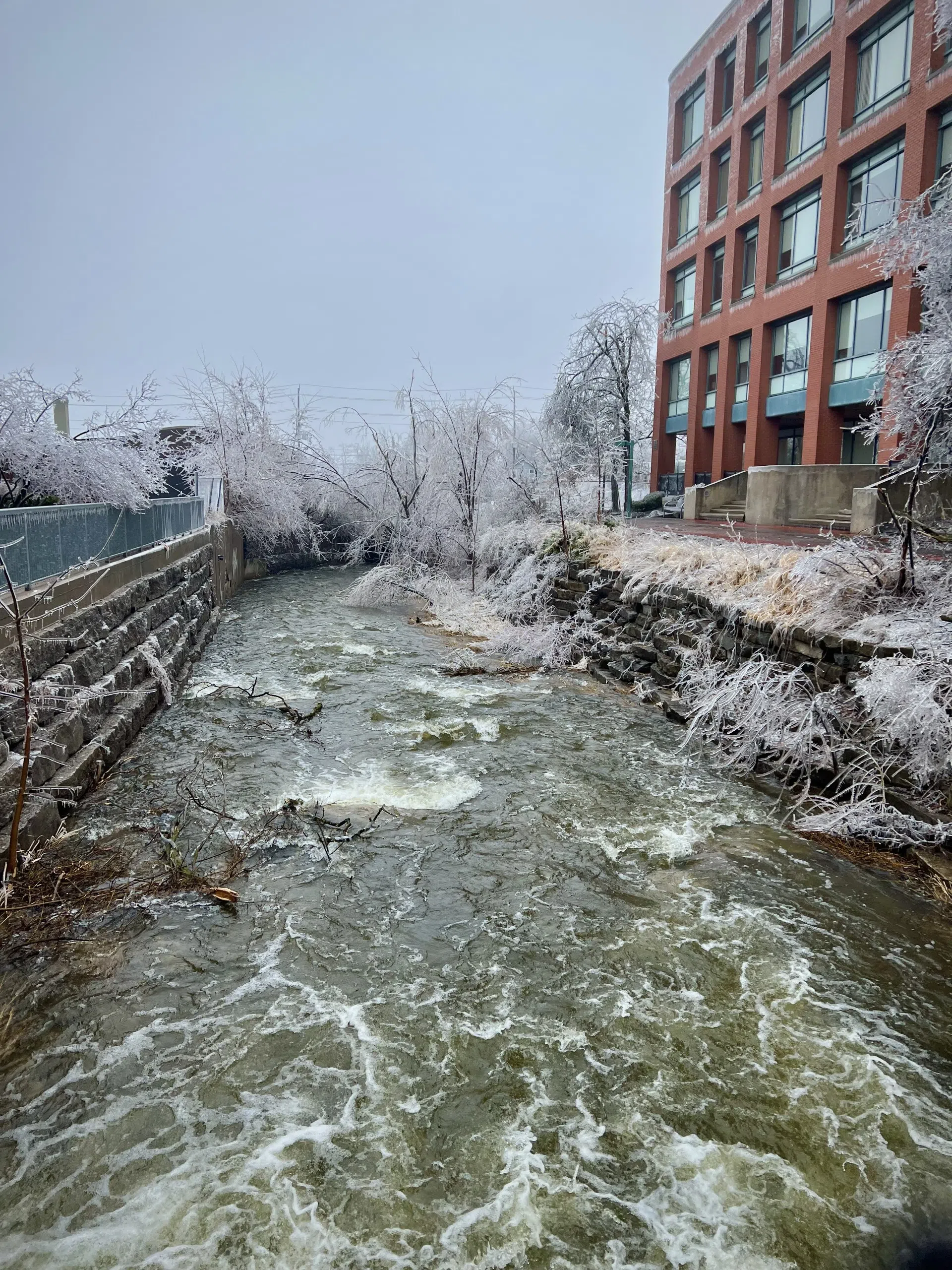
Otonabee Conservation has released draft floodplain mapping for Jackson Creek in downtown Peterborough and is inviting public input as part of an ongoing effort to identify flood risks across the watershed.
The updated mapping focuses on Jackson Creek’s path through the city’s core and aims to pinpoint areas vulnerable to flooding during major storms. The draft is now available through an online Public Information Centre, which will remain open until June 2.
Residents, businesses, and property owners can search by address using an interactive map, review frequently asked questions, and submit comments or questions directly through the map interface. A virtual open house is also scheduled for Wednesday, May 7 at noon, offering an overview of the mapping and its development.
Accurate floodplain maps are used to improve emergency preparedness, support municipal planning decisions, reduce development review costs, and identify properties and infrastructure at risk during floods.
The initiative is part of broader work by Otonabee Conservation to better understand local flood hazards and improve community resilience. More details and the registration link for the open house are available at otonabeeconservation.com.
(Written by: Scott Arnold)